
Looking Up Washtenaw Neighbors
Neighbors are best researched at the block scale by using a clear sequence of sources. MapWashtenaw supplies parcel shape and location. The County Property/Parcel Lookup supplies the parcel’s taxpayer, property situs, mailing address, PIN, legal description, and assessment context. AADL street or criss-cross directories offer dated household evidence, while Sanborn maps can place an earlier building footprint and street geometry. No source should be stretched beyond its role: a taxpayer can differ from an occupant, and a community boundary is not a member roster.
| Source | What It Shows About a Block | Access |
|---|---|---|
| MapWashtenaw parcel layer | Adjacent PINs, geometry, roads, aerial and map-date context | Public map, not a survey or title record |
| County parcel report | Taxpayer, mailing and situs address, CVT, PIN, legal description | Public current-data portal |
| Recorded deeds and plats | Legal-description and shared-boundary evidence | Public index plus document-copy route |
| Historic directories and Sanborn | Dated street sequence, household clue, and building context | AADL online, microfilm, print, or staff help |
| Neighborhood association pages | Boundary, meeting, event, and community context | Official or association page, not membership proof |
These sources identify parcels and record relationships. They do not produce a verified current-neighbor roster, and a protected address must never be sought or republished.
Washtenaw Neighbors on MapWashtenaw
MapWashtenaw is the local map starting point for a block. Locate the anchor property, capture its PIN, legal description, CVT, situs, and map date, then identify the immediately adjoining parcels from the geometry. Open each parcel report separately. A road name, aerial proximity, or map label alone is not proof that parcels share a boundary. Use the legal description, plat, survey, or recorded deed to confirm adjacency when the research requires that level of certainty.
The county GIS route is pictured below. It gives a visual block frame before administrative records are compared.
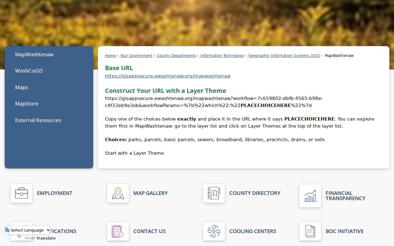
County disclaimers state that GIS data can have currency and representation errors, so it should be validated against source records.
Washtenaw Neighborhood Association Context
Association sources help describe a community’s own boundary and activity. The City of Ann Arbor’s residential-association map names many groups, including Arbor Hills, Arrowwood Hills, Barton Plateau/Huron River Heights, Broadway, Brookside, Chapel Hill, Colonial Square, Earhart Village, Forest Hills, and Friends of Huron Parkway. The map is an association inventory, not a public list of members. Use an association’s published boundary or event information as neighborhood context only.
| Community source | Verified context |
|---|---|
| Ann Arbor residential associations | Official city list and map of association names and areas. |
| Normal Park Neighborhood Association | Washtenaw Ave, Congress, Mansfield, and Summit boundary description; newsletter and events. |
| College Heights Ypsi | Ainsley, Oakwood, Washtenaw, and Hewitt boundary description; projects and events. |
| County Neighborhood Watch | Sheriff community-engagement and watch-assistance route, not a resident roster. |
Ann Arbor’s association map is shown below. It is useful for naming a neighborhood without identifying individual households.
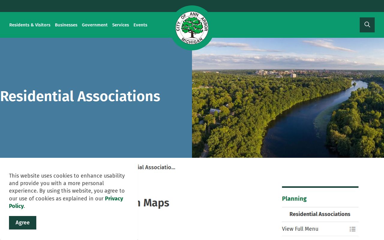
For Normal Park or College Heights, rely on the association’s own published boundary description and do not infer membership.
Mapping a Washtenaw Neighbor Block
Use the parcel system as a process flow: anchor address to PIN, PIN to nearby parcel geometry, each parcel to its own record, and each boundary to legal-description evidence if needed. The parcel report may show a taxpayer mailing address and a property address, and they must remain separate. Homestead or PRE status is a dated assessment indicator, not an occupancy confirmation. For a historical block, compare directory street order, criss-cross sections, and the relevant Sanborn edition, keeping corner parcels, alleys, renamed streets, and odd/even numbers separate.
- Locate the anchor address and preserve its PIN, CVT, situs, and map date.
- Identify only the immediately adjoining parcels from the parcel geometry.
- Open each parcel record and separate the taxpayer mailing field from property situs.
- Use deed, plat, or survey evidence to confirm a shared boundary where it matters.
- Use a dated directory or Sanborn sheet for an earlier block, retaining its edition and page or sheet.
For a whole named street rather than the immediate block, use the Washtenaw street directory and its parcel-to-deed workflow.
Washtenaw Neighbors and Voter Geography
Michigan voter information has a defined public and protected split. The current Michigan Voter Information Center is a person-and-status route, not an interface for browsing neighbors. A QVF FOIA request can be framed by geography such as a county, jurisdiction, ward, precinct, district, school, or village and can request defined voter-history data. Driver and state-ID values, month and day of birth, phone, email, signatures, the last four digits of a Social Security number, refusals, and ACP registrations remain withheld. Participation history does not reveal ballot choices.
That means a neighborhood research file should focus on its lawful geography and redacted output, not try to reconstruct protected household details.
Washtenaw Neighborhood Watch Route
Washtenaw County Neighborhood Watch describes the Sheriff’s community-engagement specialists and county assistance for watch programs. It is a community-support resource, not a person finder. Use an official watch route for organizing a lawful local safety conversation, and use emergency or police channels for an urgent situation. A watch page should never be used to extract or circulate private household data.
The county Neighborhood Watch page is shown below. Its value is in community process, not a resident list.
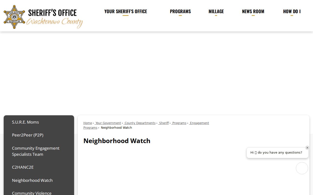
Pairing a block map with a public-safety program does not change the privacy rules for people or addresses.
Official Versus Compiled Neighbor Tools
Official parcel, map, deed, and association sources identify their custodian, date, and purpose. A commercial neighbor-search category may aggregate public filings and older data without explaining matching, refresh, source date, or correction practice. For a block question, official sources are better for checking parcel boundaries and historical dates. When a primary record is unavailable online, use the county office, library, archive, or court request path rather than treating a compiled listing as proof.
| Official source | Compiled listing category |
|---|---|
| States the source and legal access route | May combine records with different dates and roles |
| Preserves redactions and custodian correction process | May carry stale or mismatched associations |
| Supports a specific parcel or historical claim | Needs independent verification |
Washtenaw Neighbor Privacy Limits
Public property material does not list every renter or household member. Michigan’s Address Confidentiality Program gives an eligible person a substitute address, and protected voter information, vital records, signatures, identity numbers, and nonpublic court files must not be sought through a block search. A mailing address can differ from a property situs. Do not use a map marker or a historical directory result to expose a sensitive person’s location.
Block research should also avoid treating public-safety tools as neighbor directories. Washtenaw County Corrections gives custody, mail, bond, and visit information, but no official county name-search roster was located. MDOC OTIS, Michigan’s public registry, and custody-notification services cover different populations and purposes. A name match must not be merged with a parcel or community record without independently matching a date, record number, municipality, or other lawful attribute.
If a map or record suggests an urgent risk, contact appropriate public-safety or victim-service channels instead of conducting a private search. The Michigan Address Confidentiality Program is the verified statewide route for eligible people needing a substitute address and mail forwarding. Keep protected information out of any neighborhood notes, and ask the original custodian about correction or redaction procedures when a public record appears inaccurate.
Lawful use. Research Washtenaw neighbors for a lawful personal purpose and never use a result to watch, stalk, harass, intimidate, or harm anyone.